


adicionar à lista de desejos

Newcastle Upon Tyne Street Atlas
idioma: inglês
Editor:
HarperCollins Publishers, fevereiro de 2017 ‧
ver detalhes do produto
ESGOTADO OU NÃO DISPONÍVEL
Venda o seu livro
SINOPSE
This A-Z map of Newcastle upon Tyne is a full colour, paperback street atlas featuring 154 pages of continuous street mapping and includes large scale city centre maps of Newcastle upon Tyne, Sunderland and Durham.
DETALHES
| Propriedade | Descrição |
|---|---|
| ISBN: | 9781782571315 |
| Editor: | HarperCollins Publishers |
| Data de Lançamento: | fevereiro de 2017 |
| Idioma: | Inglês |
| Dimensões: | 129 x 192 x 10 mm |
| Encadernação: | Capa mole |
| Páginas: | 288 |
| Tipo de produto: | Livro |
| Coleção: | Mini Map |
| Classificação Temática: |
Livros em Inglês
>
Desporto e Lazer
>
Jogos e Passatempos
|
| EAN: | 9781782571315 |
LIVROS DA MESMA COLEÇÃO
-
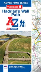
Hadrian'S Wall Path Adventure AtlasHarperCollins Publishers11,53€
-
Explore The Message: The Institute Of BiAUTHORS PUBLISHER18,03€
-
10%Northern England A-Z Road AtlasHarperCollins Publishers9,72€
10,80€ -
10%Nottingham A-Z Street AtlasHarperCollins Publishers10,94€
12,16€