


adicionar à lista de desejos
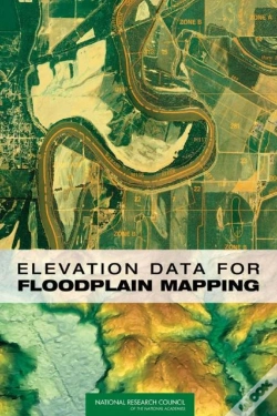
Elevation Data For Floodplain Mapping
idioma: inglês
Editor:
NATIONAL ACADEMIES PRESS, agosto de 2007 ‧
ver detalhes do produto
SINOPSE
Shows that there is sufficient two-dimensional "base map imagery" to meet Federal Emergency Management Agency's (FEMA's) flood map modernization goals, but that the three-dimensional "base elevation data" that are needed to determine whether a building should have flood insurance are not adequate.
DETALHES
| Propriedade | Descrição |
|---|---|
| ISBN: | 9780309104098 |
| Editor: | NATIONAL ACADEMIES PRESS |
| Data de Lançamento: | agosto de 2007 |
| Idioma: | Inglês |
| Dimensões: | 178 x 254 x 10 mm |
| Encadernação: | Capa mole |
| Páginas: | 166 |
| Tipo de produto: | Livro |
| Classificação Temática: |
Livros em Inglês
>
Ciências Sociais e Humanas
>
Geografia
|
| EAN: | 9780309104098 |
-
Scaling Program Investments For Young Children Globally10%NATIONAL ACADEMIES PRESS43,26€ 10% CARTÃOportes grátis
-
Hearing Loss And Healthy Aging10%NATIONAL ACADEMIES PRESS40,56€ 10% CARTÃOportes grátis
-
Coal10%NATIONAL ACADEMIES PRESS77,06€ 10% CARTÃOportes grátis
-
Partnerships For Reducing Landslide Risk10%NATIONAL ACADEMIES PRESS74,35€ 10% CARTÃOportes grátis
-
Reckoning With The U.S. Role In Global Ocean Plastic Waste10%NATIONAL ACADEMIES PRESS36,50€ 10% CARTÃOportes grátis
-
Continuous Manufacturing For The Modernization Of Pharmaceutical Production10%NATIONAL ACADEMIES PRESS66,24€ 10% CARTÃOportes grátis