


adicionar à lista de desejos
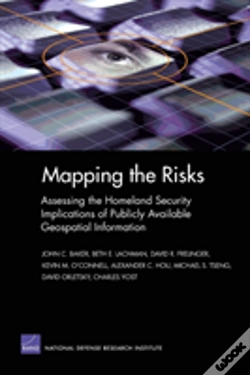
Mapping The Risks
Assessing Homeland Security Implications Of Publicly Available Geospatial Information
language: english
Publisher:
RAND, March of 2004 ‧
see product details
SYNOPSIS
Following the attacks of September 11, many agencies with the government began restricting some of their publicly available geospatial data and information from the Internet. The research presented here aims to assist decisionmakers tasked with the responsibilty of choosing which geospatial information to make available and which to restrict.
DETAILS
| Property | Description |
|---|---|
| ISBN: | 9780833035479 |
| Publisher: | RAND |
| Release Date: | March of 2004 |
| Language: | English |
| Dimensions: | 152 x 229 x 13 mm |
| Cover: | Softcover |
| Pages: | 219 |
| Format: | Book |
| Collection: | Spectrum |
| Categories: |
Books in English
>
Politics
>
Politics in General
|
| EAN: | 9780833035479 |
BOOKS FROM THE SAME COLLECTION
-
10%A Mathematician'S Angle On School MathAmerican Mathematical Society41,36€
45,96€free shipping -
10%A History Of Mathematics In The United States And CanadaAmerican Mathematical Society144,65€ 10% CARDfree shipping
-
Lessons For The Global Spatial Data InfrastructureRAND17,96€free shipping
-
imagem não disponívelEnergy Effects Of Ending The Department Of Defense'S Use Of Chemicals That Deplete Stratospheric OzoneEnergy Effects Of Ending The Department Of Defense'S Use Of Chemicals That Deplete Stratospheric OzoneRAND11,53€
-
Intratheater Airlift Functional Solution Analysis (Fsa)RAND32,43€free shipping
-
Intratheater Airlift Functional Area Analysis (Faa)RAND22,97€free shipping
-
Aptitude For DestructionRAND20,27€free shipping
-
Aptitude For DestructionRAND29,73€free shipping
-
Army Forces For Homeland SecurityRAND20,27€free shipping
-
U.S.Commercial Remote Sensing Satellite IndustryRAND22,97€free shipping
-
Network-Centric Operations Case StudyRAND17,96€free shipping
-
Challenging Time In DopmaRAND20,27€free shipping