


adicionar à lista de desejos

London Pocket Map
The Perfect Way To Explore London
language: english
Publisher:
HarperCollins Publishers, February of 2020 ‧
see product details
SYNOPSIS
Handy little full colour map of central London with a high level of detail. Clear mapping from Regent’s Park in the north to Kennington in the south, and Kensington Gardens in the west to Tower Bridge in the east at a scale of 1:12,500 (5 inches to 1 mile). Maps of West End shopping and theatres are also included.
DETAILS
| Property | Description |
|---|---|
| ISBN: | 9780008370015 |
| Publisher: | HarperCollins Publishers |
| Release Date: | February of 2020 |
| Language: | English |
| Dimensions: | 93 x 141 x 3 mm |
| Pages: | 2 |
| Format: | Book |
| Categories: |
Books in English
>
Others
Books in English > Tourist Guides and Maps > Other Guides |
| EAN: | 9780008370015 |
-
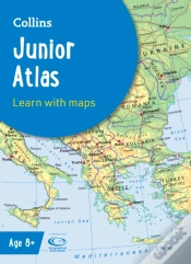
Collins Junior Atlas10%HarperCollins Publishers10,94€
12,16€ -
Collins World Atlas: Complete Edition10%HarperCollins Publishers42,59€
47,32€free shipping
PEOPLE WHO BOUGHT ALSO BOUGHT
-
I'M Right And You'Re An Idiot - 2nd Edition10%New Society Publishers20,27€ 10% CARTÃOfree shipping
-
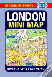
London Mini Map10%BENSONS MAPGUIDES3,39€ 10% CARTÃO