


adicionar à lista de desejos
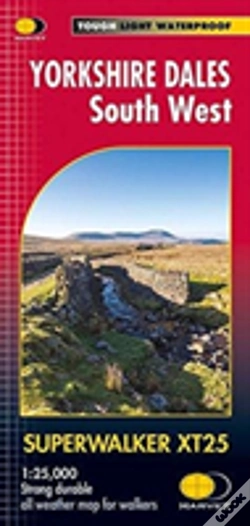
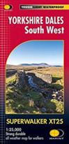
Yorkshire Dales South West
idioma: inglês
Editor:
HARVEY MAP SERVICES LTD, fevereiro de 2016 ‧
ver detalhes do produto
ESGOTADO OU NÃO DISPONÍVEL
Venda o seu livro
SINOPSE
The Yorkshire Dales National Park on just 4 sheets. Yorkshire Dales South West: The coverage of this map includes Yorkshire Three Peaks, Whernside, Ingleborough and Pen-y-Ghent. Genuine original HARVEY mapping at 1:25,000. Clear, easy to read, Easy to re-fold.
DETALHES
| Propriedade | Descrição |
|---|---|
| ISBN: | 9781851375622 |
| Editor: | HARVEY MAP SERVICES LTD |
| Data de Lançamento: | fevereiro de 2016 |
| Idioma: | Inglês |
| Dimensões: | 115 x 240 x 20 mm |
| Páginas: | 1 |
| Tipo de produto: | Livro |
| Coleção: | Superwalker |
| Classificação Temática: |
Livros em Inglês
>
Desporto e Lazer
>
Outros Desportos
Livros em Inglês > Outros |
| EAN: | 9781851375622 |
LIVROS DA MESMA COLEÇÃO
-
Arrochar Alps30%HARVEY MAP SERVICES LTD15,10€
21,57€portes grátis -
Brecon Beacons East30%HARVEY MAP SERVICES LTD15,10€
21,57€portes grátis