adicionar à lista de desejos
Saddle Mountain
Trails Illustrated Other Rec. Areas
idioma: inglês
Editor:
NATIONAL GEOGRAPHIC MAPS, Janeiro de 2015 ‧
ver detalhes do produto
ESGOTADO OU NÃO DISPONÍVEL
Venda o seu livro
SINOPSE
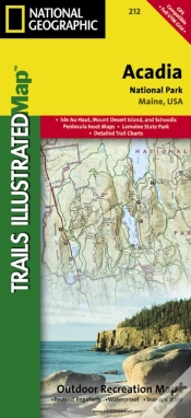
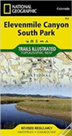
Trails Illustrated Other Rec Areas. National Geographics Trails Illustrated Maps are the most detailed and up-to-date topographic recreation maps available for US National Parks, National Forests and other popular outdoor recreation areas. A necessity for exploring the outdoors, each map is printed on waterproof, tear-resistant material. They also contain key safety and contact information, GPS and compass coordinates, Leave No Trace ethical guidelines and hundreds of points-of-interest, including scenic viewpoints, campgrounds, boat launches, swimming areas, marine sanctuaries and wildlife refuges.
DETALHES
| Propriedade | Descrição |
|---|---|
| ISBN: | 9781566956840 |
| Editor: | NATIONAL GEOGRAPHIC MAPS |
| Data de Lançamento: | Janeiro de 2015 |
| Idioma: | Inglês |
| Páginas: | 1 |
| Tipo de produto: | Livro |
| Classificação Temática: |
Livros em Inglês
>
Ciências Sociais e Humanas
>
Geografia
Livros em Inglês > Outros |
| EAN: | 9781566956840 |
-
imagem não disponívelChilkoot Trail/Klondike Gold RChilkoot Trail/Klondike Gold R10%NATIONAL GEOGRAPHIC MAPS19,97€ 10% CARTÃOportes grátis
-
imagem não disponívelAnnapurnaAnnapurna10%NATIONAL GEOGRAPHIC MAPS19,97€ 10% CARTÃOportes grátis