


adicionar à lista de desejos
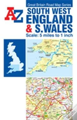
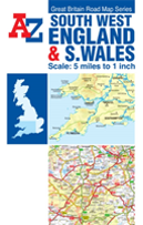
A-Z Sw England & S Wales Road Map
idioma: inglês
Editor:
HarperCollins Publishers, novembro de 2018 ‧
ver detalhes do produto
ESGOTADO OU NÃO DISPONÍVEL
Venda o seu livro
SINOPSE
This A-Z Map of South West England and South Wales is a full colour, single-sided, fold-out road map featuring continuous mapping south of Aberystwyth and Coventry and to the west of Kettering and Chichester. Also included is an inset map of the Isles of Scilly.
DETALHES
| Propriedade | Descrição |
|---|---|
| ISBN: | 9781782570738 |
| Editor: | HarperCollins Publishers |
| Data de Lançamento: | novembro de 2018 |
| Idioma: | Inglês |
| Dimensões: | 151 x 236 x 6 mm |
| Páginas: | 1 |
| Tipo de produto: | Livro |
| Coleção: | Road Atlas |
| Classificação Temática: |
Livros em Inglês
>
Ciências Sociais e Humanas
>
Geografia
|
| EAN: | 9781782570738 |
LIVROS DA MESMA COLEÇÃO
-
10%Defoe'S AmericaCAMBRIDGE UNIVERSITY PRESS85,17€ 10% CARTÃOportes grátis
-
imagem não disponívelGreat Britain Town And Country Atlas10%Great Britain Town And Country AtlasCOLLINS18,12€ 10% CARTÃOportes grátis