



adicionar à lista de desejos
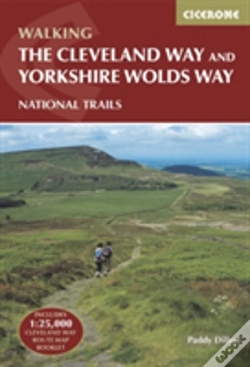
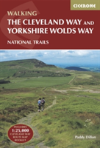
The Cleveland Way And The Yorkshire Wolds Way
Includes 1:25,000 Cleveland Way Route Map Booklet
language: english
Publisher:
CICERONE PRESS, September of 2020 ‧
see product details
OUT OF STOCK OR NOT AVAILABLE
Sell your book
SYNOPSIS
A walking guidebook to the Cleveland Way and Yorkshire Wolds Way National Trails, plus the Tabular Hills Walk link route. Crossing the North York Moors national park, coastal walking and quiet gently countryside, the three routes can be joined to create a circular long-distance route of over 250 miles (400km) of easy and enjoyable walking.
DETAILS
| Property | Description |
|---|---|
| ISBN: | 9781852848231 |
| Publisher: | CICERONE PRESS |
| Release Date: | September of 2020 |
| Language: | English |
| Dimensions: | 116 x 172 x 20 mm |
| Cover: | Softcover |
| Pages: | 192 |
| Format: | Book |
| Collection: | Beginner'S Guides |
| Categories: |
Books in English
>
Sports and Leisure
>
Other Sports
|
| EAN: | 9781852848231 |
BOOKS FROM THE SAME COLLECTION
-
10%Improving Your Stand Up PaddleboardingFernhurst Books Limited22,97€ 10% CARDfree shipping
-
10%AstronomyOneworld Publications13,51€ 10% CARD
-
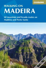
10%Walking On MadeiraCICERONE PRESS21,84€
24,27€free shipping -
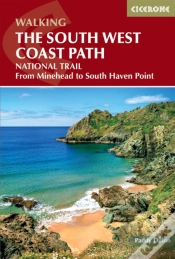
10%Walking The South West Coast PathCICERONE PRESS23,06€
25,62€free shipping