adicionar à lista de desejos
Saddle Mountain
Trails Illustrated Other Rec. Areas
language: english
Publisher:
NATIONAL GEOGRAPHIC MAPS, January of 2015 ‧
see product details
OUT OF STOCK OR NOT AVAILABLE
Sell your book
SYNOPSIS
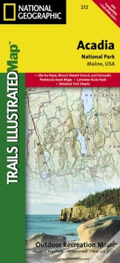
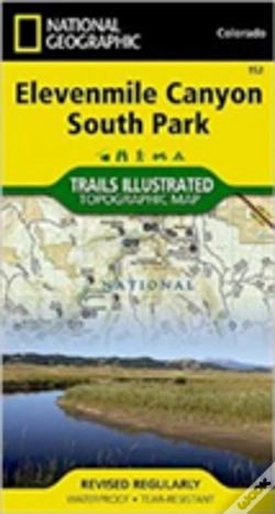
Trails Illustrated Other Rec Areas. National Geographics Trails Illustrated Maps are the most detailed and up-to-date topographic recreation maps available for US National Parks, National Forests and other popular outdoor recreation areas. A necessity for exploring the outdoors, each map is printed on waterproof, tear-resistant material. They also contain key safety and contact information, GPS and compass coordinates, Leave No Trace ethical guidelines and hundreds of points-of-interest, including scenic viewpoints, campgrounds, boat launches, swimming areas, marine sanctuaries and wildlife refuges.
DETAILS
| Property | Description |
|---|---|
| ISBN: | 9781566956840 |
| Publisher: | NATIONAL GEOGRAPHIC MAPS |
| Release Date: | January of 2015 |
| Language: | English |
| Pages: | 1 |
| Format: | Book |
| Categories: |
Books in English
>
Social Sciences and Humanities
>
Geography
Books in English > Others |
| EAN: | 9781566956840 |
-
imagem não disponívelChilkoot Trail/Klondike Gold RChilkoot Trail/Klondike Gold R10%NATIONAL GEOGRAPHIC MAPS19,97€ 10% CARDfree shipping
-
imagem não disponívelAnnapurnaAnnapurna10%NATIONAL GEOGRAPHIC MAPS19,97€ 10% CARDfree shipping