


adicionar à lista de desejos
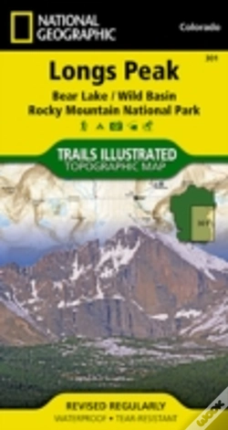
Longs Peak
Trails Illustrated National Parks
language: english
Publisher:
NATIONAL GEOGRAPHIC MAPS, August of 2012 ‧
see product details
OUT OF STOCK OR NOT AVAILABLE
Sell your book
SYNOPSIS
Coverage of the Long's Peak area of Rocky Mountain National Park includes Roosevelt National Forest, Indian Peaks Wilderness, Paradise Park Research Natural Area, McGregor Ranch Conservation Easement. Towns: Estes Park; Allenspark, Meeker Park. Includes UTM grids for use with your GPS unit.
DETAILS
| Property | Description |
|---|---|
| ISBN: | 9781566954310 |
| Publisher: | NATIONAL GEOGRAPHIC MAPS |
| Release Date: | August of 2012 |
| Language: | English |
| Dimensions: | 108 x 235 x 10 mm |
| Pages: | 1 |
| Format: | Book |
| Collection: | Trails Illustrated Maps |
| Categories: |
Books in English
>
Others
|
| EAN: | 9781566954310 |
BOOKS FROM THE SAME COLLECTION
-
Historical Dictionary Of Naval Intelligence10%Scarecrow Press175,74€ 10% CARDfree shipping
-
Historical Dictionary Of U.S. Diplomacy From World War I Through World War Ii10%Scarecrow Press229,82€ 10% CARDfree shipping
-
imagem não disponívelChilkoot Trail/Klondike Gold RChilkoot Trail/Klondike Gold R10%NATIONAL GEOGRAPHIC MAPS19,97€ 10% CARDfree shipping
-
imagem não disponívelAnnapurnaAnnapurna10%NATIONAL GEOGRAPHIC MAPS19,97€ 10% CARDfree shipping